The research project
WEQUAL is a research project that started in 2017, when three private companies (Maccaferri Innovation Center, MAVTech e Naturstudio) and the Free University of Bolzano met and decided to concretely address an extremely current theme: the sustainable development of the territory.
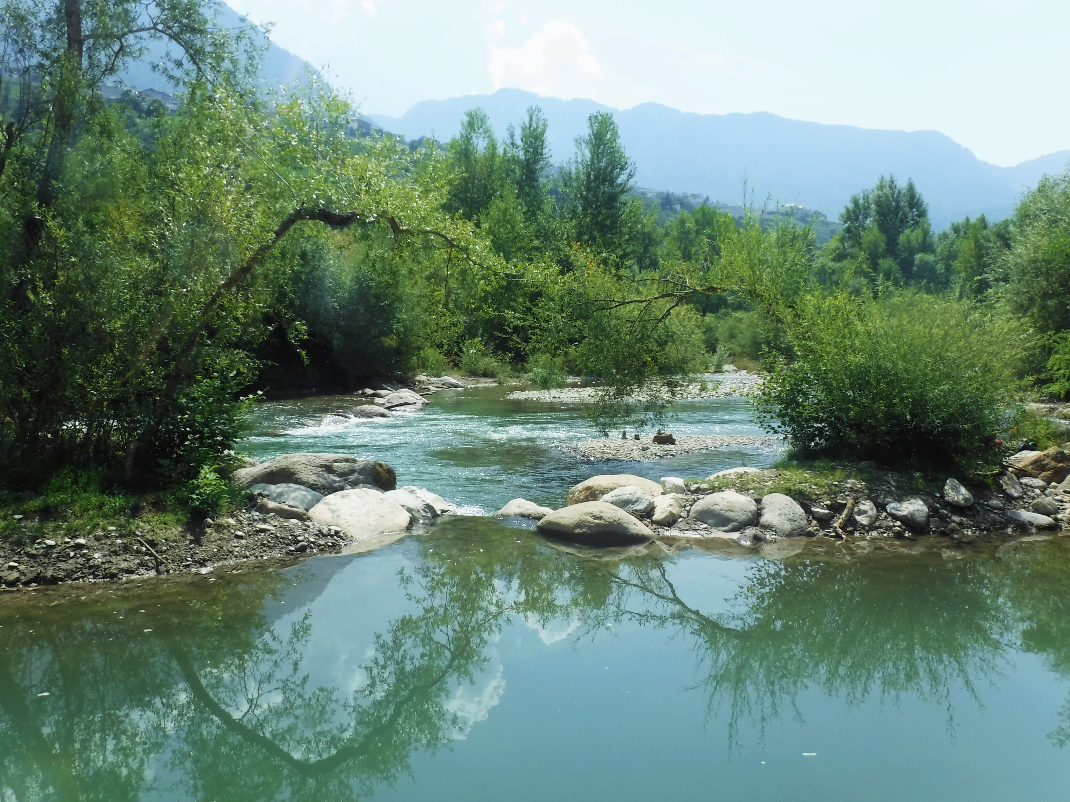
Inspired by the recommendations of the European Commission in the field of Green Infrastructure, the project partners worked closely together to create a web-based system that supports the design of interventions to improve and better safeguard watercourses.
This new system is created as a simple and practical tool to encourage technicians, project managers, evaluators and institutional stakeholders to use an integrated territorial approach, promoting the protection of fluvial ecosystems.
The system implements an analytical procedure that requires the evaluation of various parameters. These parameters make it possible to frame all measures of hydraulic improvements in relation to their real capacity to contribute to the good management of the territory and the containment of environmental impacts. Some of these parameters can be obtained through automated survey techniques and using remote-sensing data captured by drones.
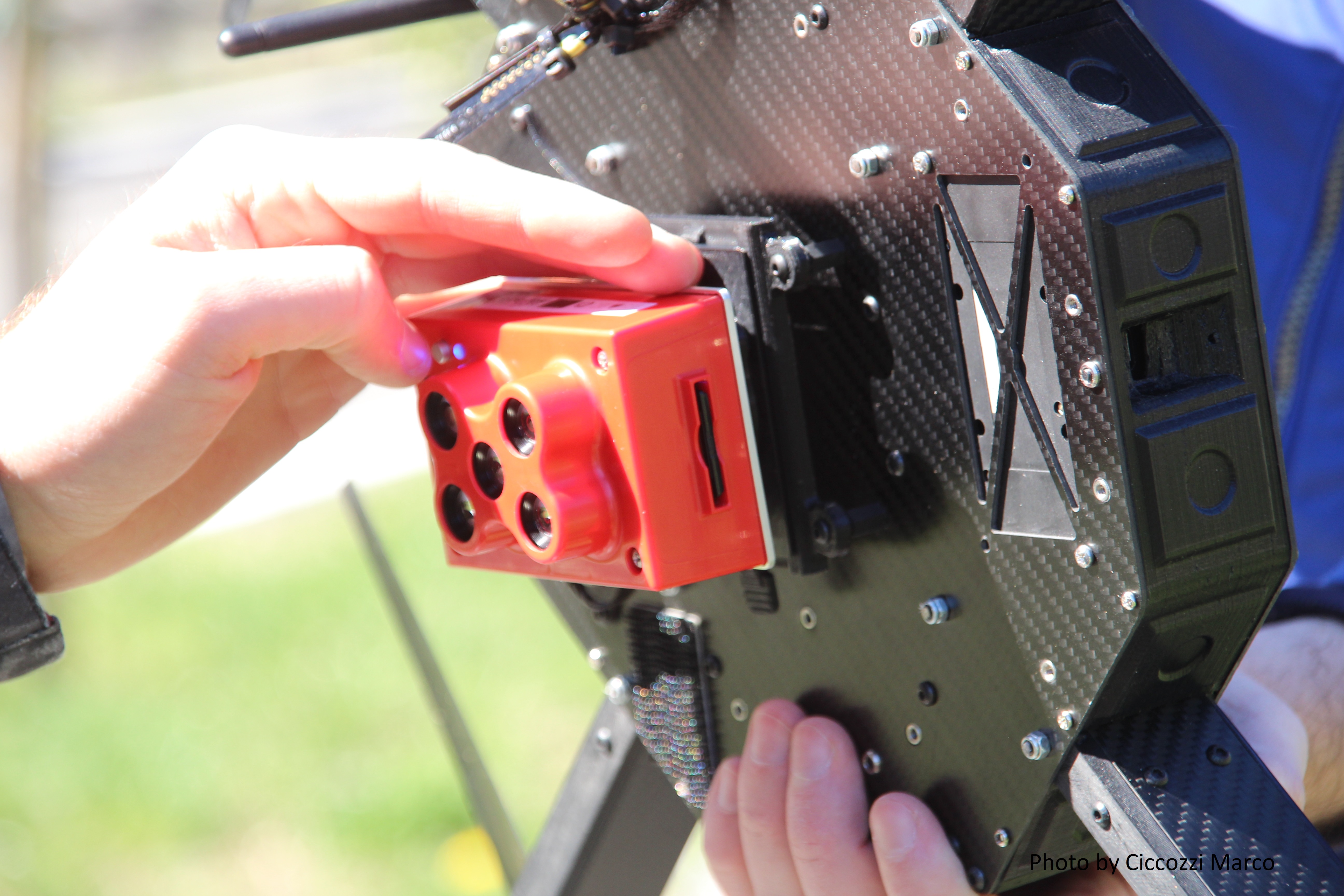
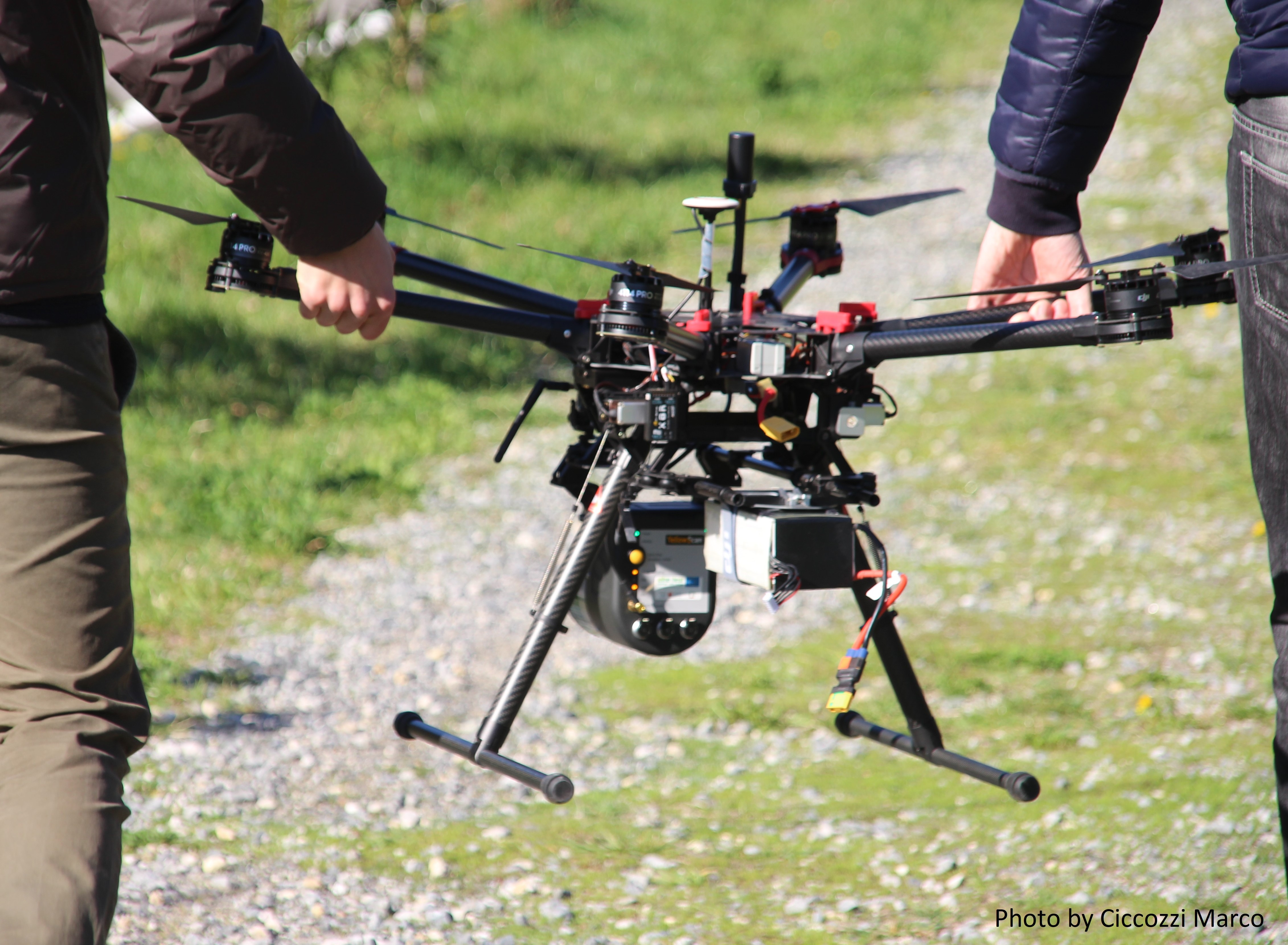
As part of the project, drones were designed, built and equipped with high-tech sensors, which, in a short time, allow to collect large amounts of spatial data. The use of similar tools reduces the workload in the field, gives objectivity to the analysis and supports the assessor in the sustainable design of future interventions.
The project is funded by ERDF South Tyrol.
Project duration
The WEQUAL project started in February 2017 and is ending in July 2019.
Project activities
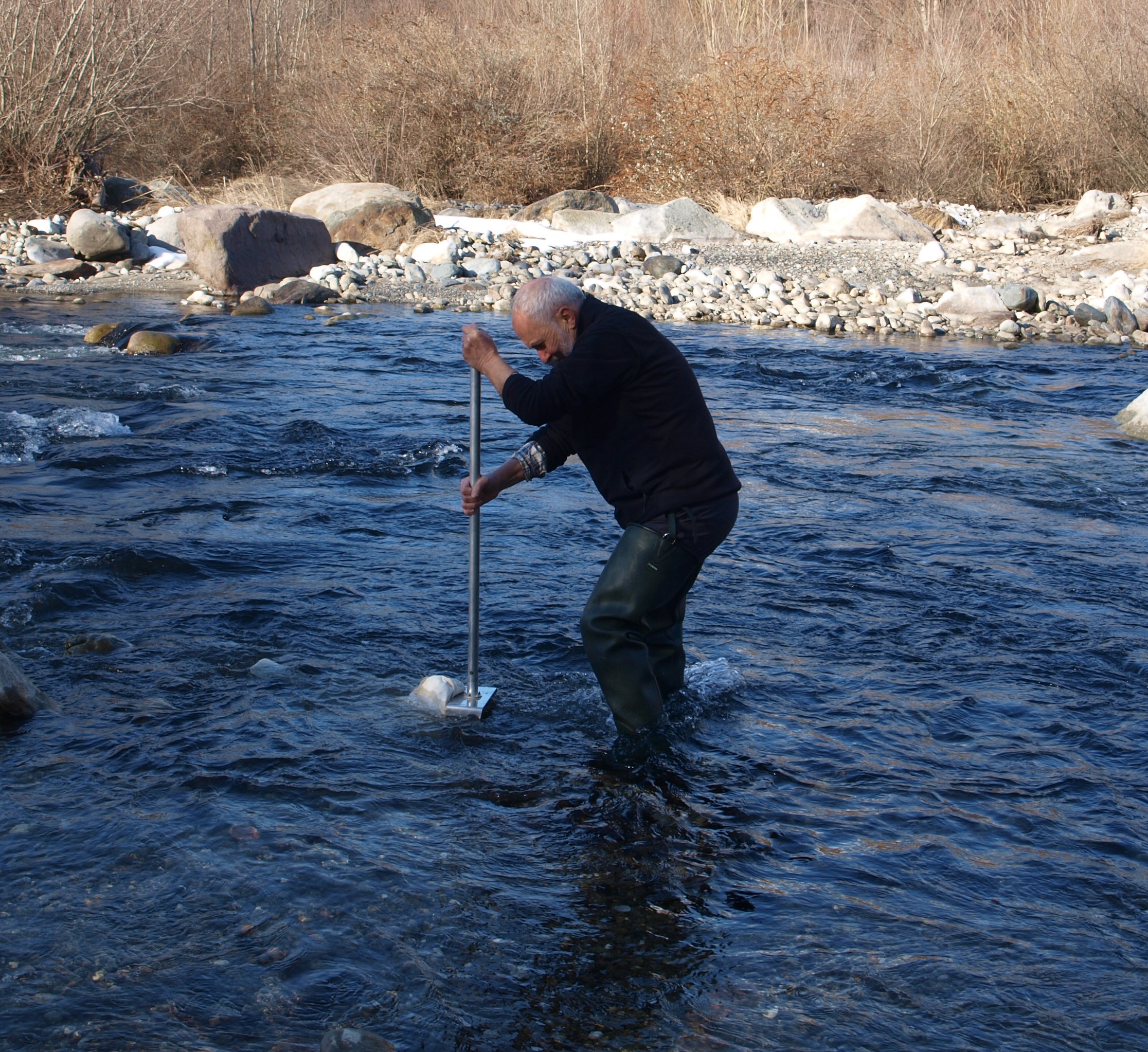
The main activities are carried out in the field, gathering data related to different measures of hydraulic improvements. The data were processed in a way to develop, calibrate and validate the analysis tools developed during the project.
The concerned activities include:
- the development, calibration and validation of WEQUI, a methodology that rates the local eco-morphological quality of watercourses, consisting of 15 environmental indicators;
- the creation of a database of typical effects for different categories of hydraulic structures, based on observations and measurements in the field;
- the design, development and testing of drones for remote sensing surveys, with optimizations of the flight and survey techniques;
- conduct field surveys, using our drones and involving high-tech hydraulic experts, naturalists, botanists, agronomists, hydrobiologists, ornithologists;
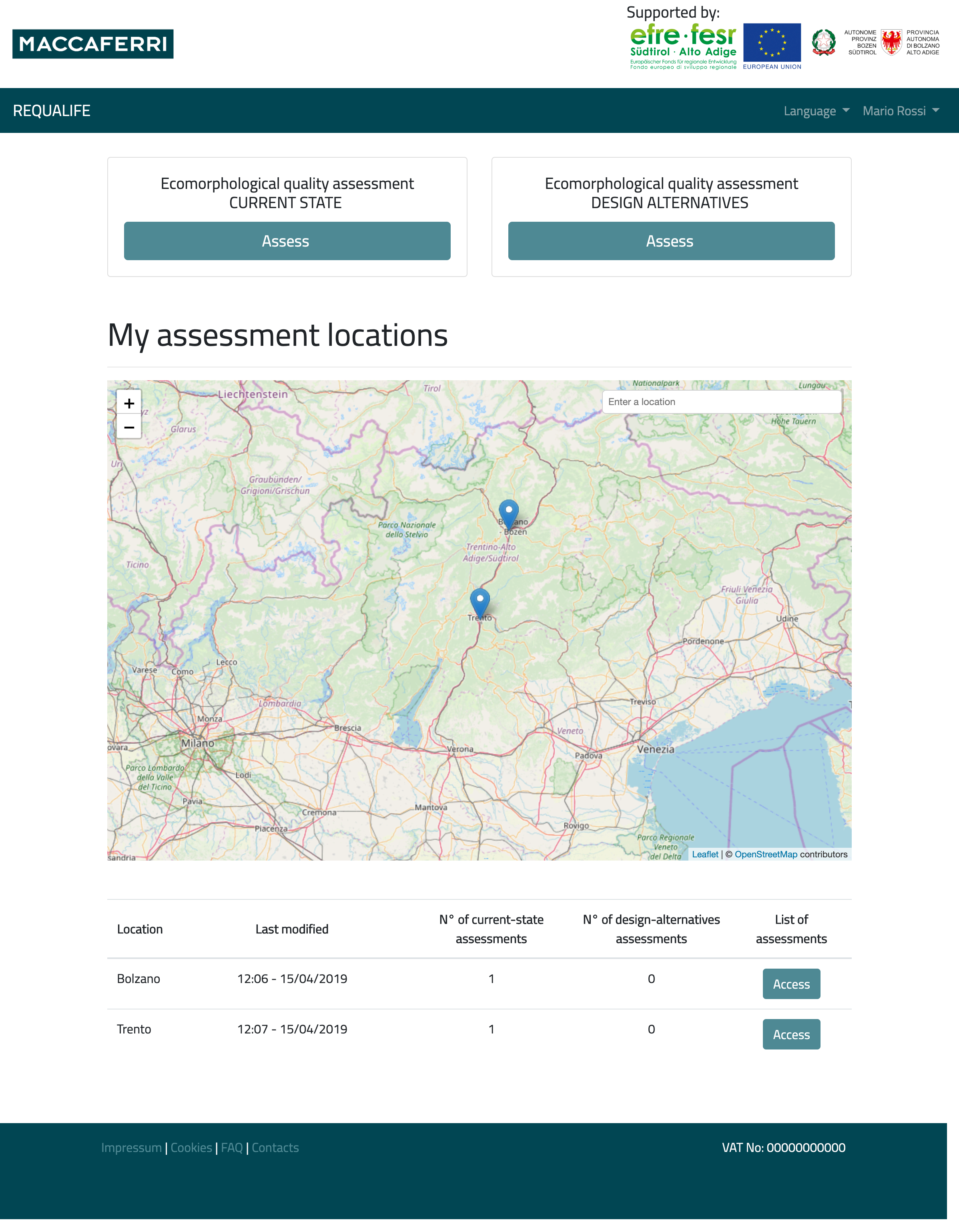
- the development and implementation of the web-based tools REQUALIFE and Wequal-AMC, two systems to support assessment and design of watercourses engineered solutions.
Results
At the end of the project, we will have:
WEQUI
A validated assessment method, which makes it possible to classify the eco-morphological quality of a watercourse and, when in process of designing, to predict the environmental state of projects several years after construction.
REQUALIFE
A simple, intuitive and accessible web application, which implements the WEQUI methodology and allows users to carry out quick environmental assessments.
WEQUAL-AMC
A web-service application that allows to combine environment, technical, economic and social assessments, using multi-dimensional analysis techniques to assess the best project allowing the end-users to choose the most relevant outputs for them.
4 DRONES
Four UAV platforms optimized for flights in a river environment and equipped with sensors suitable for environmental surveys.
ALGORITHMS
Numerous calculation codes to process and interpret data surveys from the field, to combine evaluation parameters, and to perform comparative analysis.